Washidatanhoton: that's the name Denise and I gave the area we visited in the fall of 2019. We made a loop through the region, starting in Spokane in eastern Washington (”Wash”), going east through the northern part of Idaho (”ida”), then on to northwestern Montana during the middle of our stay (”tan”), down into the southern part of Idaho near the Snake River Plain (”ho”), and back to Spokane (”ton”). I jokingly told people that it was an old Native American word for the northwest part of the country.
Like a number of our trips, we had to make modifications on the fly due to unusual circumstances. We managed to make those changes without missing out on almost all that we planned to see and we also wound up seeing some things we hadn’t expected. In all, the trip to Washidatanhoton turned out to be one of our more enjoyable trips we’ve had. The region is full of fascinating things to see and learn for those willing to look beyond potatoes (which was something we didn’t see).
As you scroll through the grid of pictures, if you click on a picture it will be displayed in full screen mode. You can then navigate through the photos by clicking on the arrow that pops up on the side of the images. To get back to the grid, move your cursor to the upper right corner and click on the X that appears.
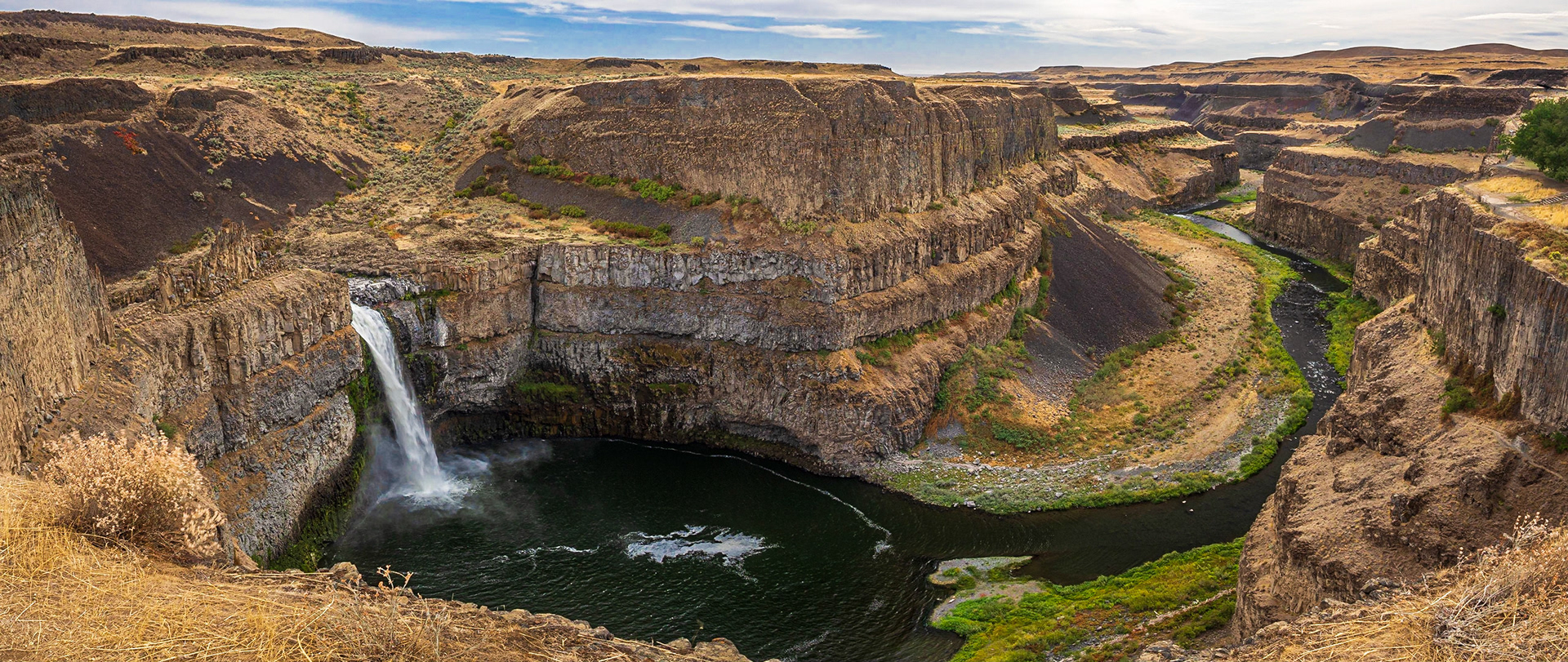
Palouse Falls and canyon
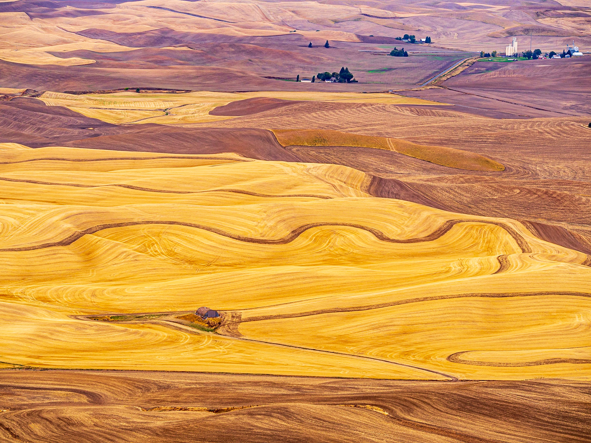
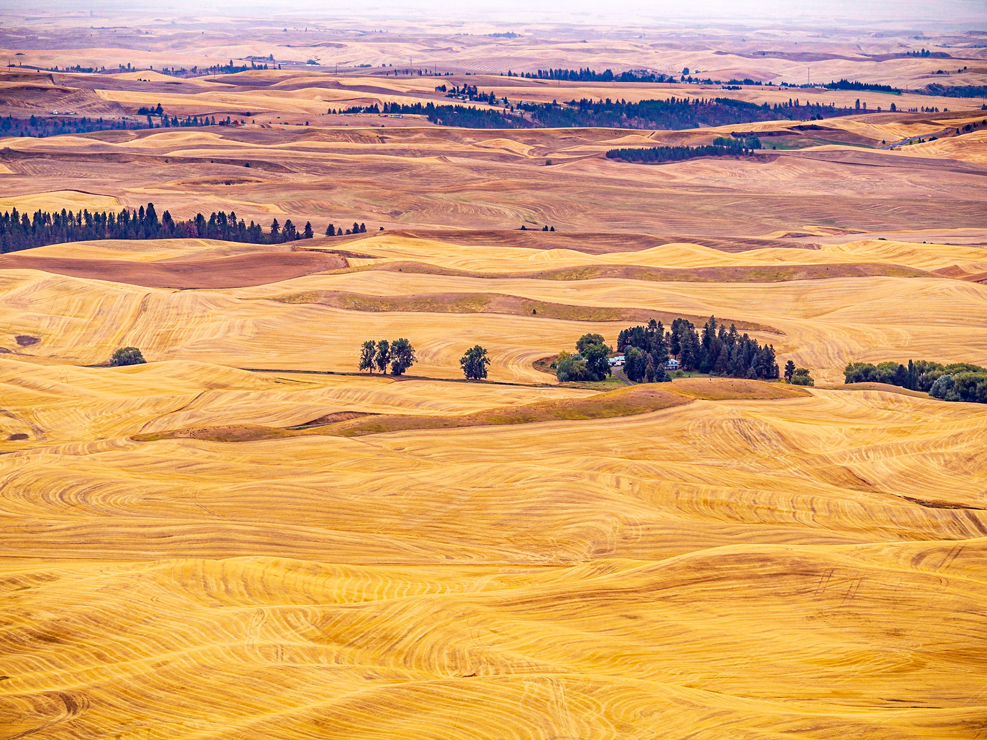
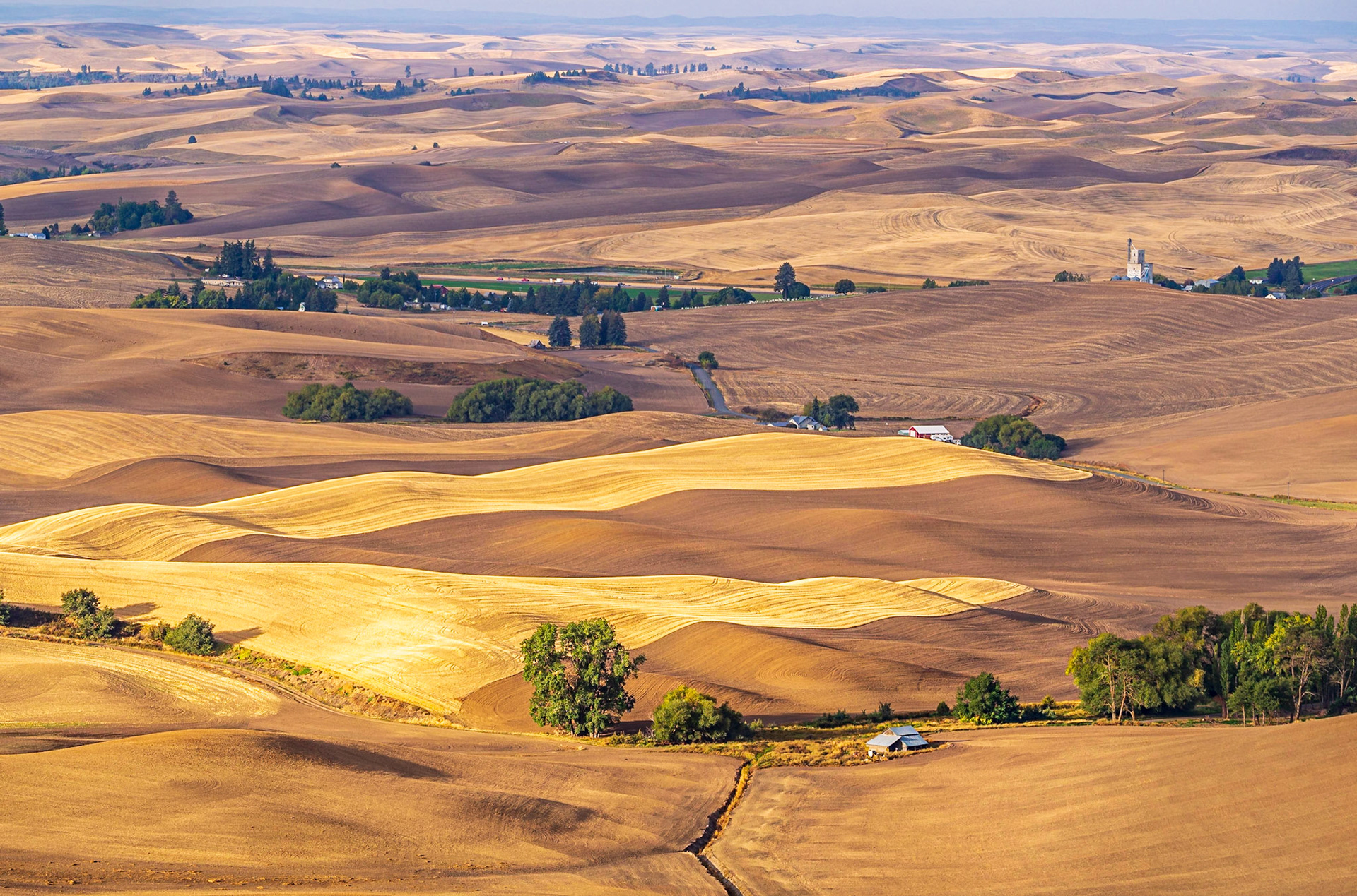
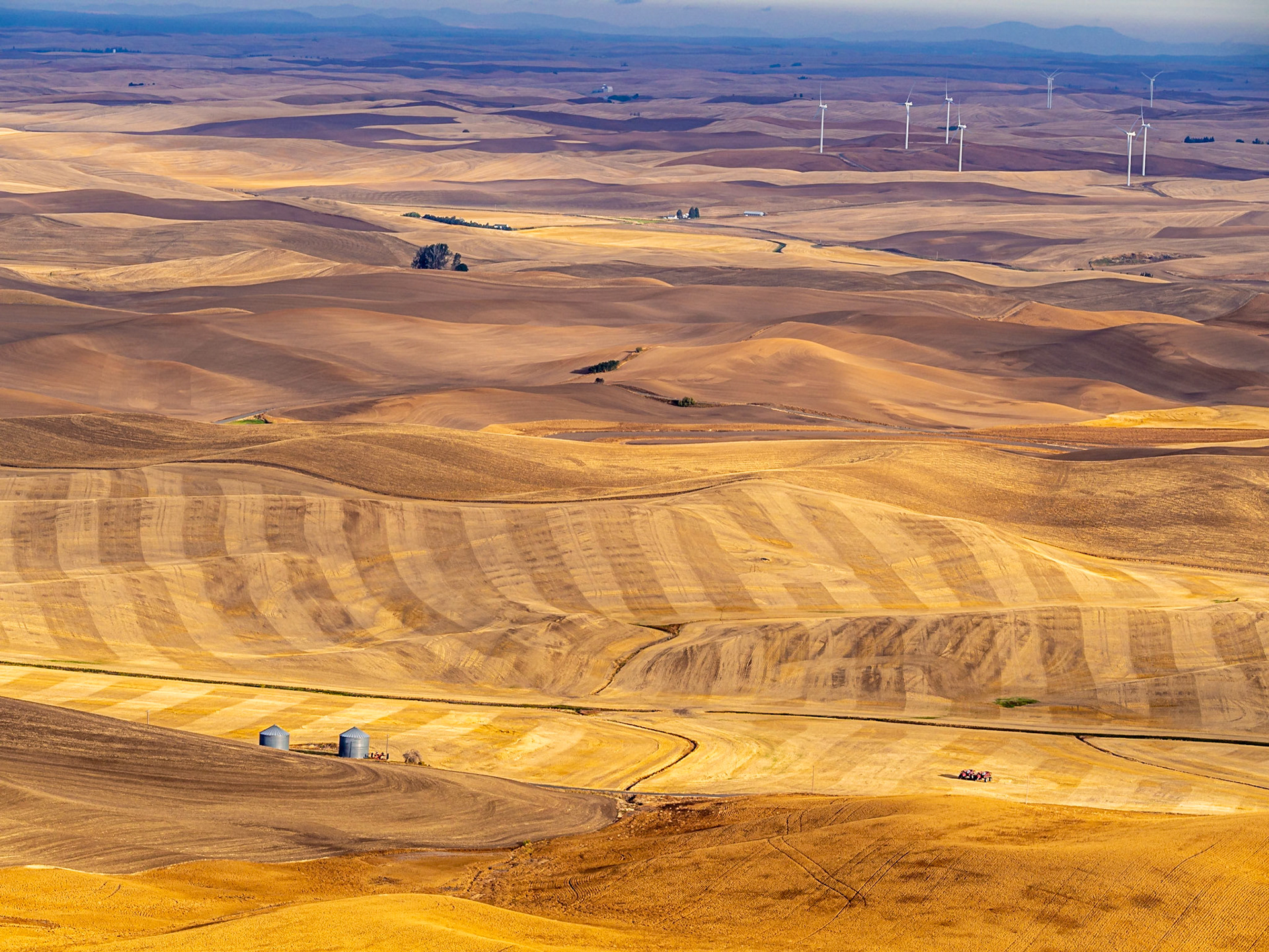
Patterns in the wheat fields of the Palouse
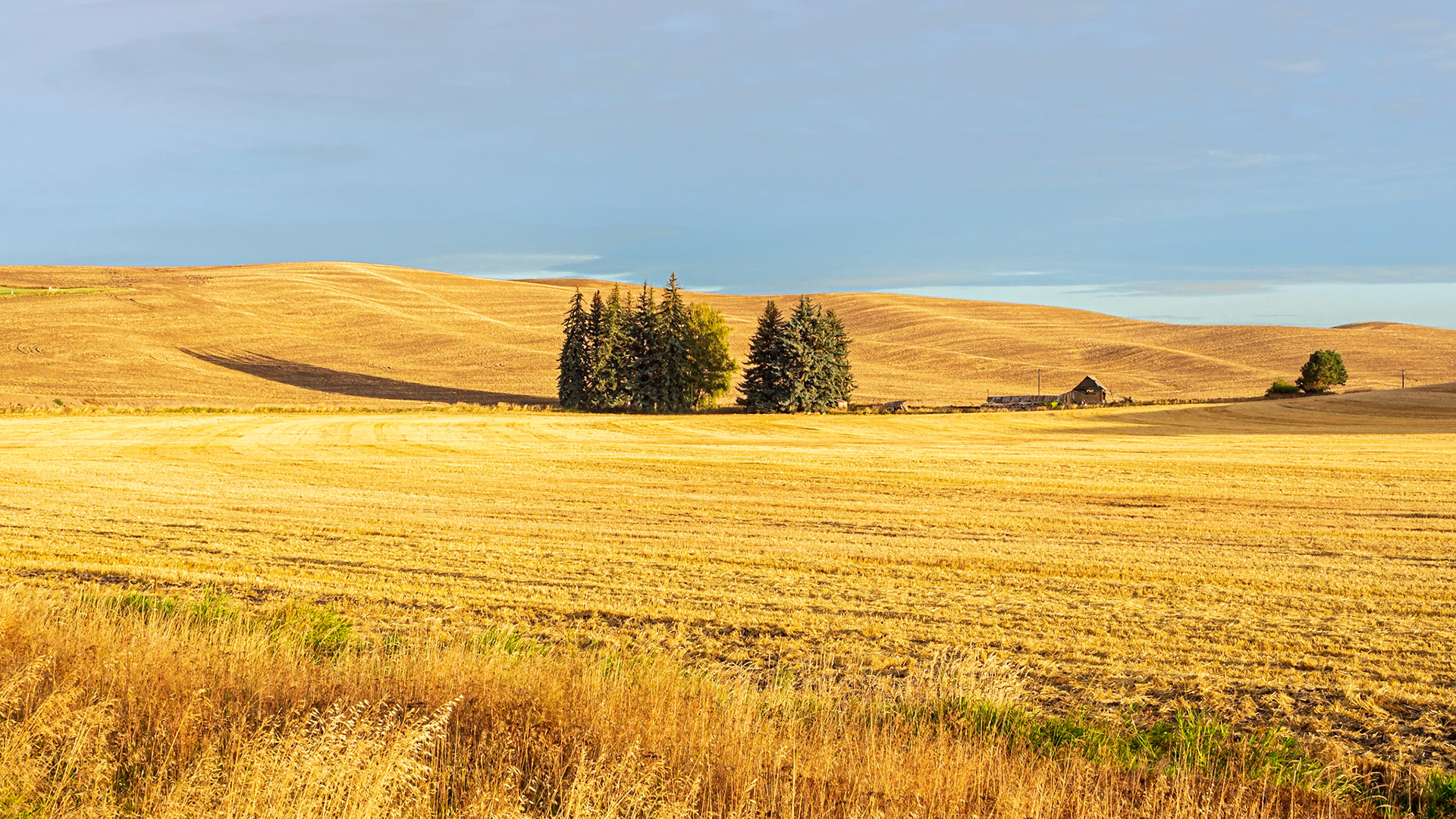
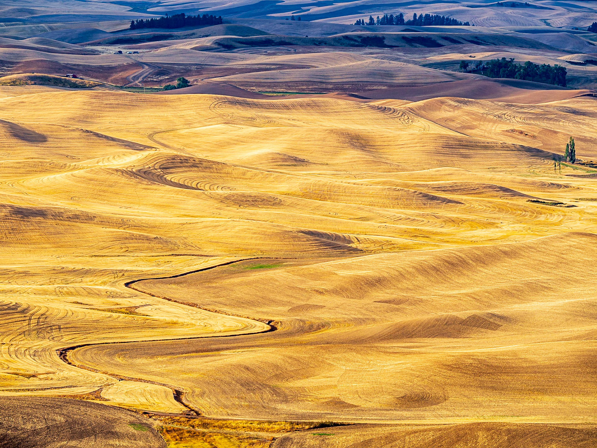
Patterns in the wheat fields of the Palouse
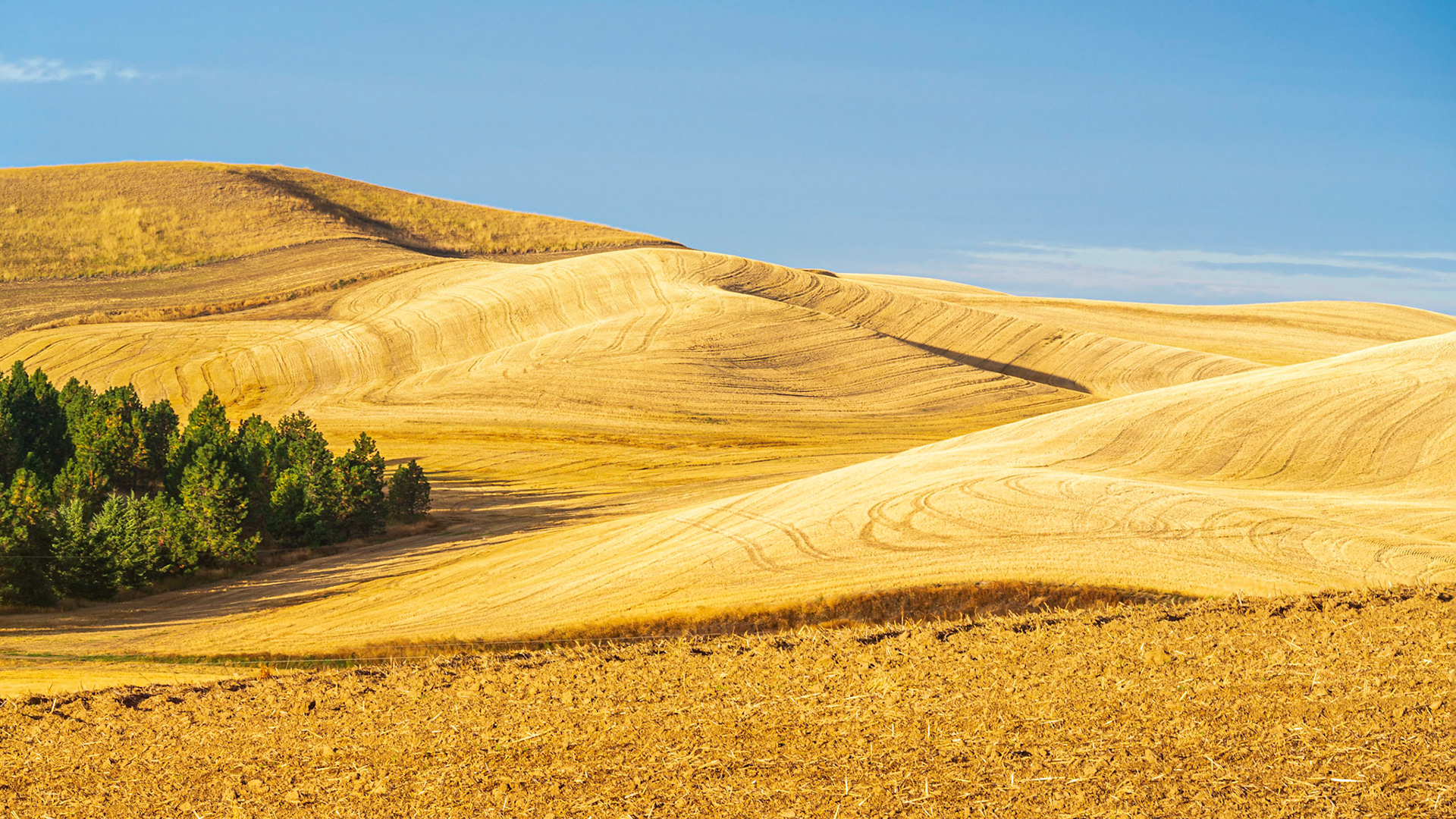
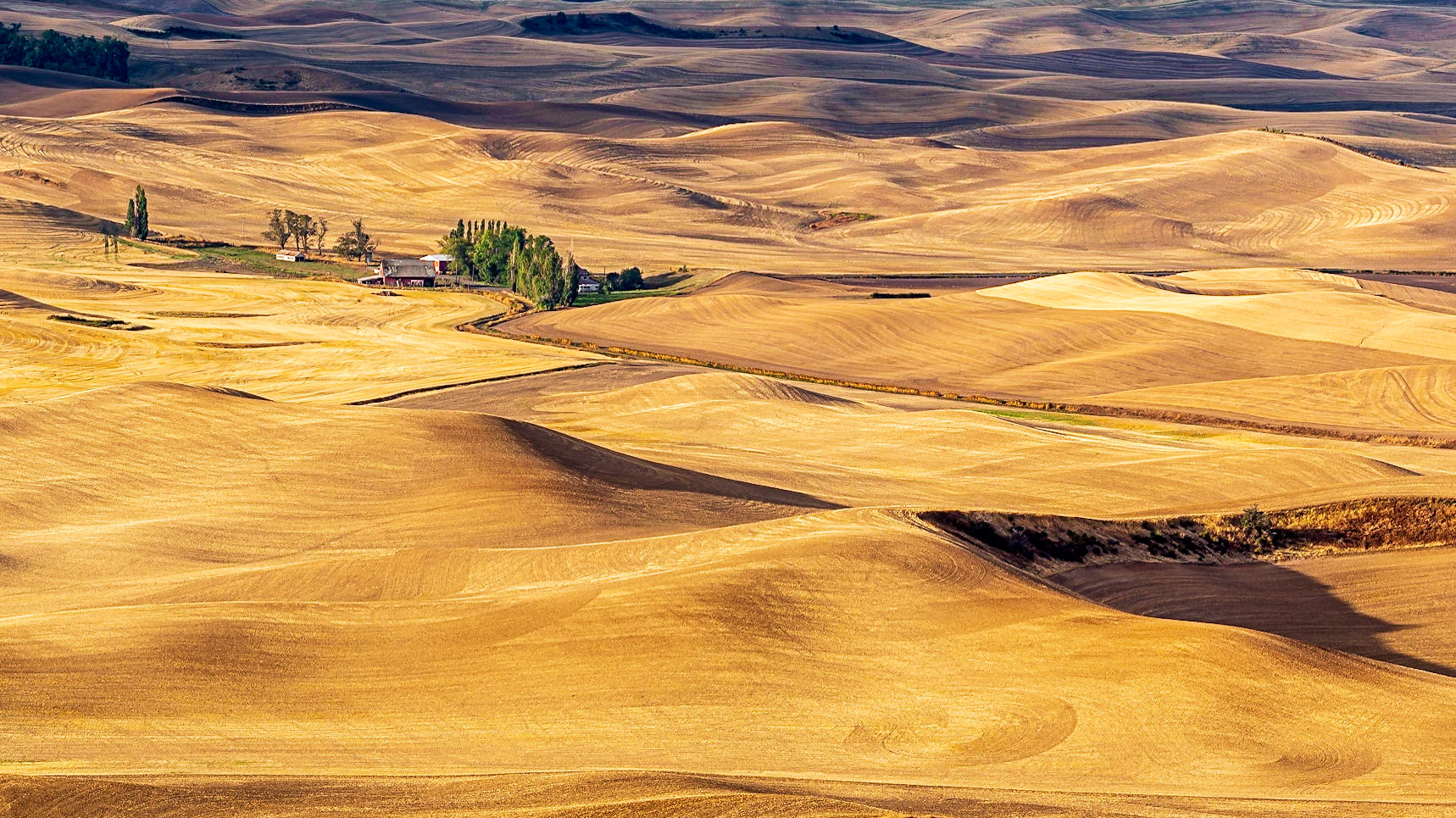
Patterns in the wheat fields of the Palouse
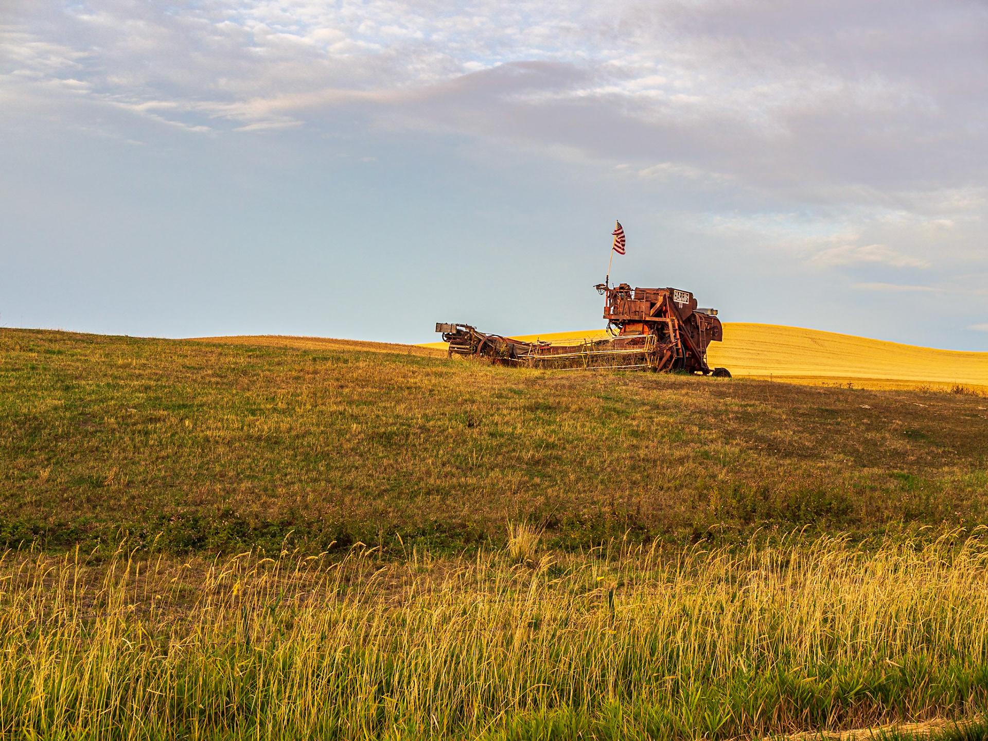
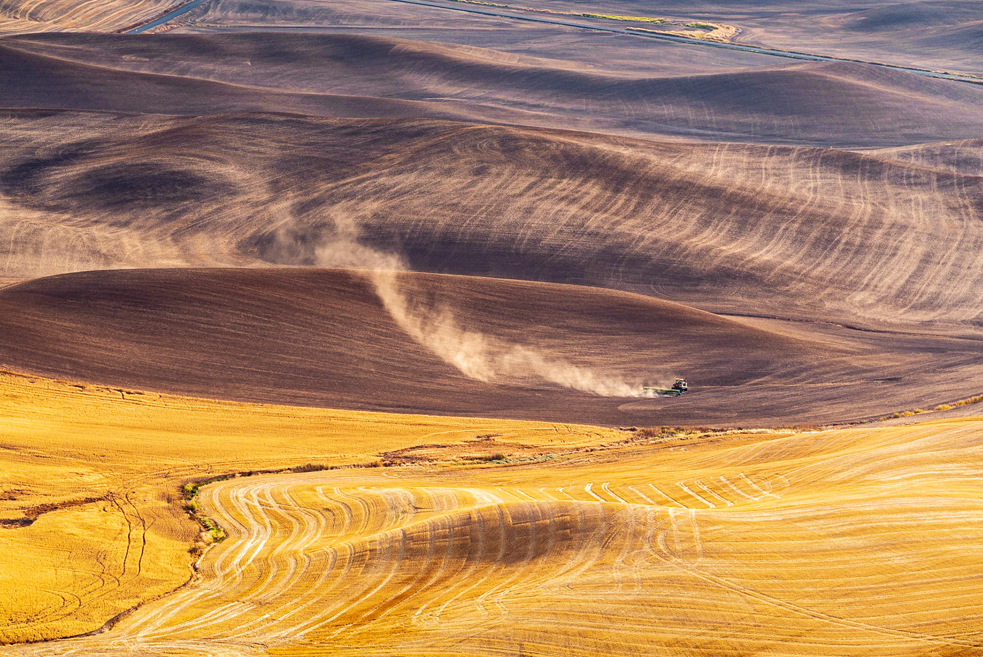
Patriotic combine
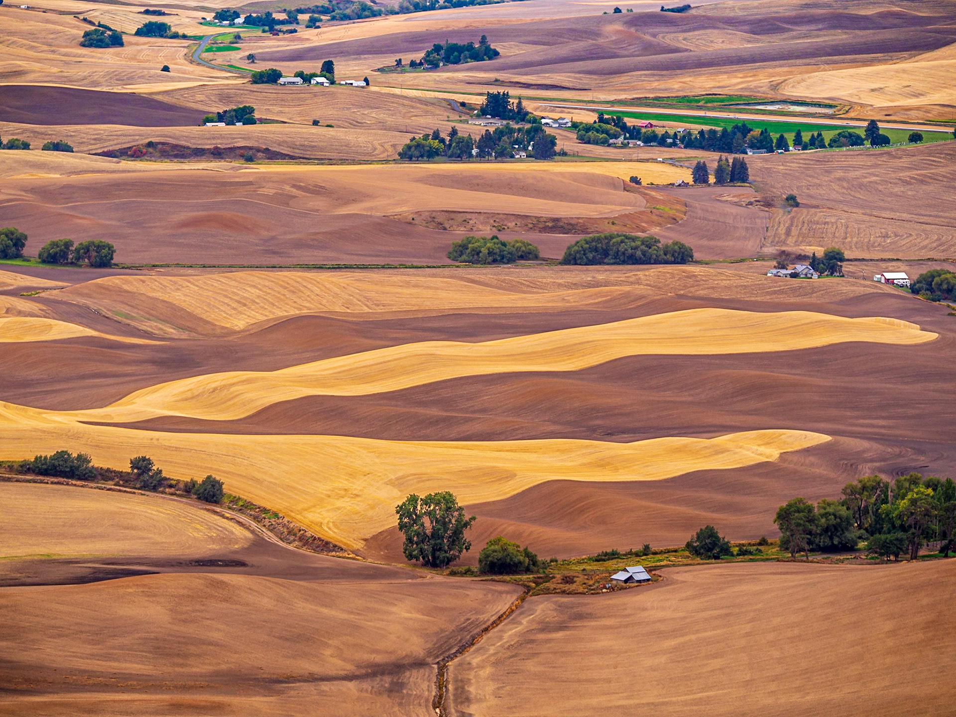
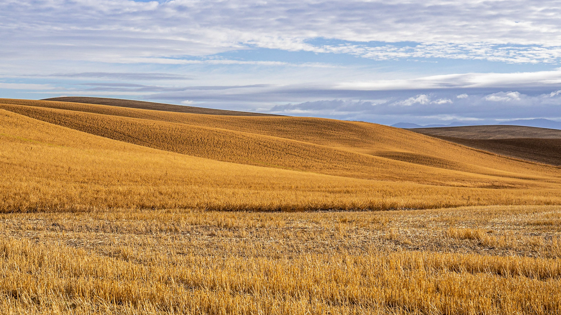
Patterns in the wheat fields of the Palouse
Patterns in the wheat fields of the Palouse
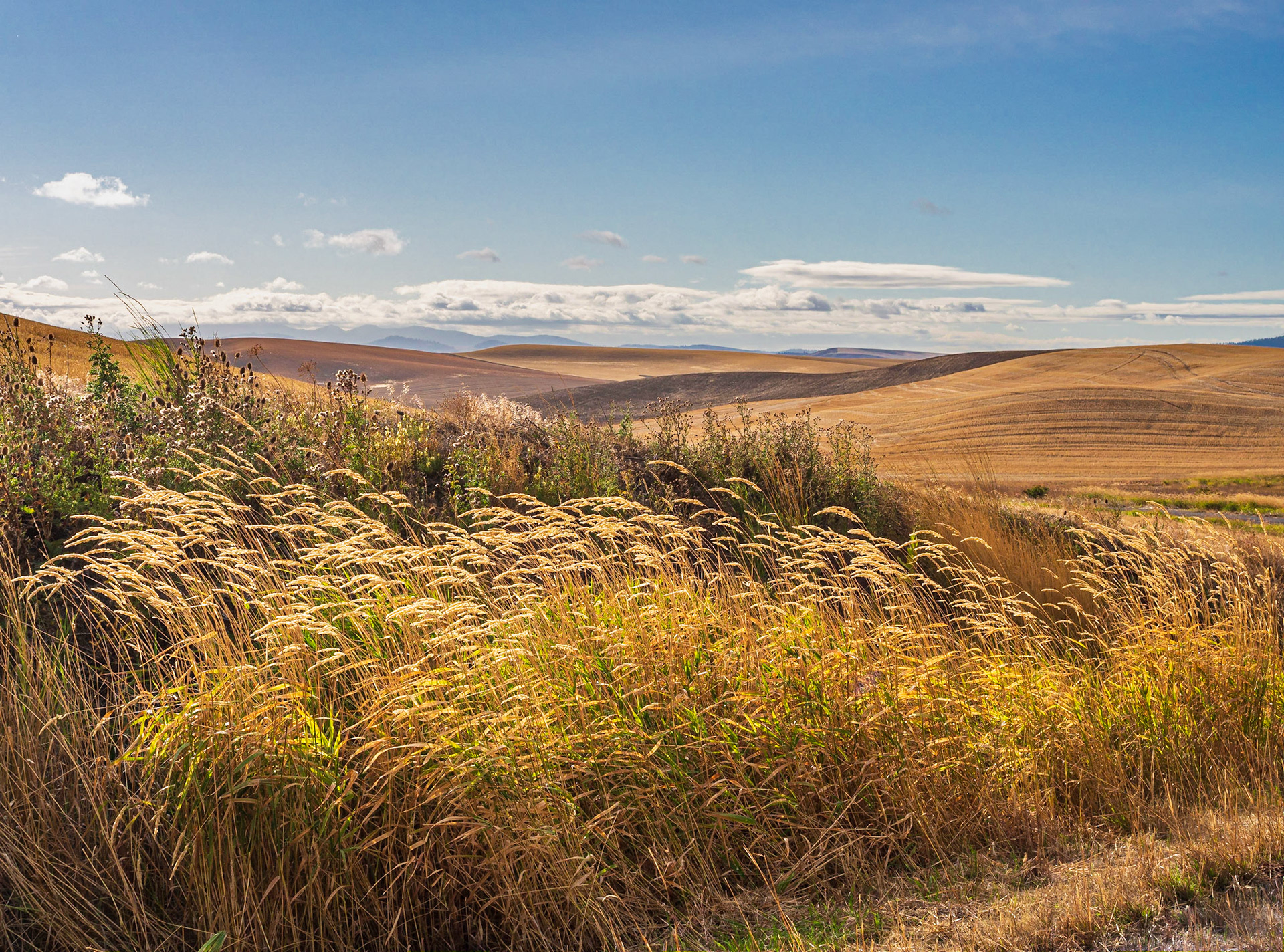
Patterns in the wheat fields of the Palouse
Patterns in the wheat fields of the Palouse
Patterns in the wheat fields of the Palouse
Patterns in the wheat fields of the Palouse
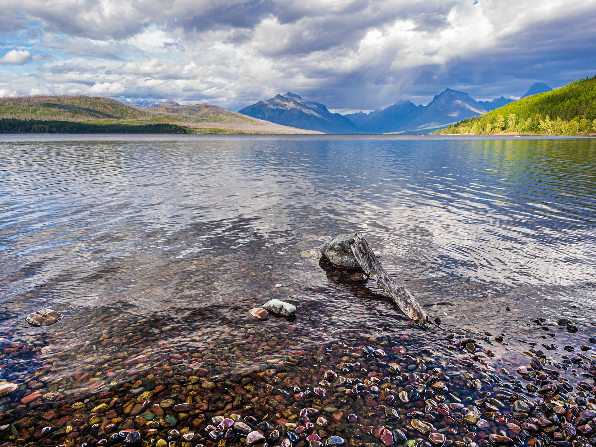
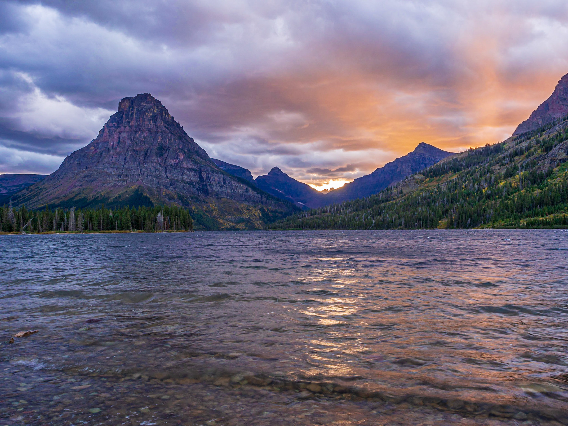
We managed to make it to the shore of Two Medicine Lake just in time to catch the last rays of the setting sun.
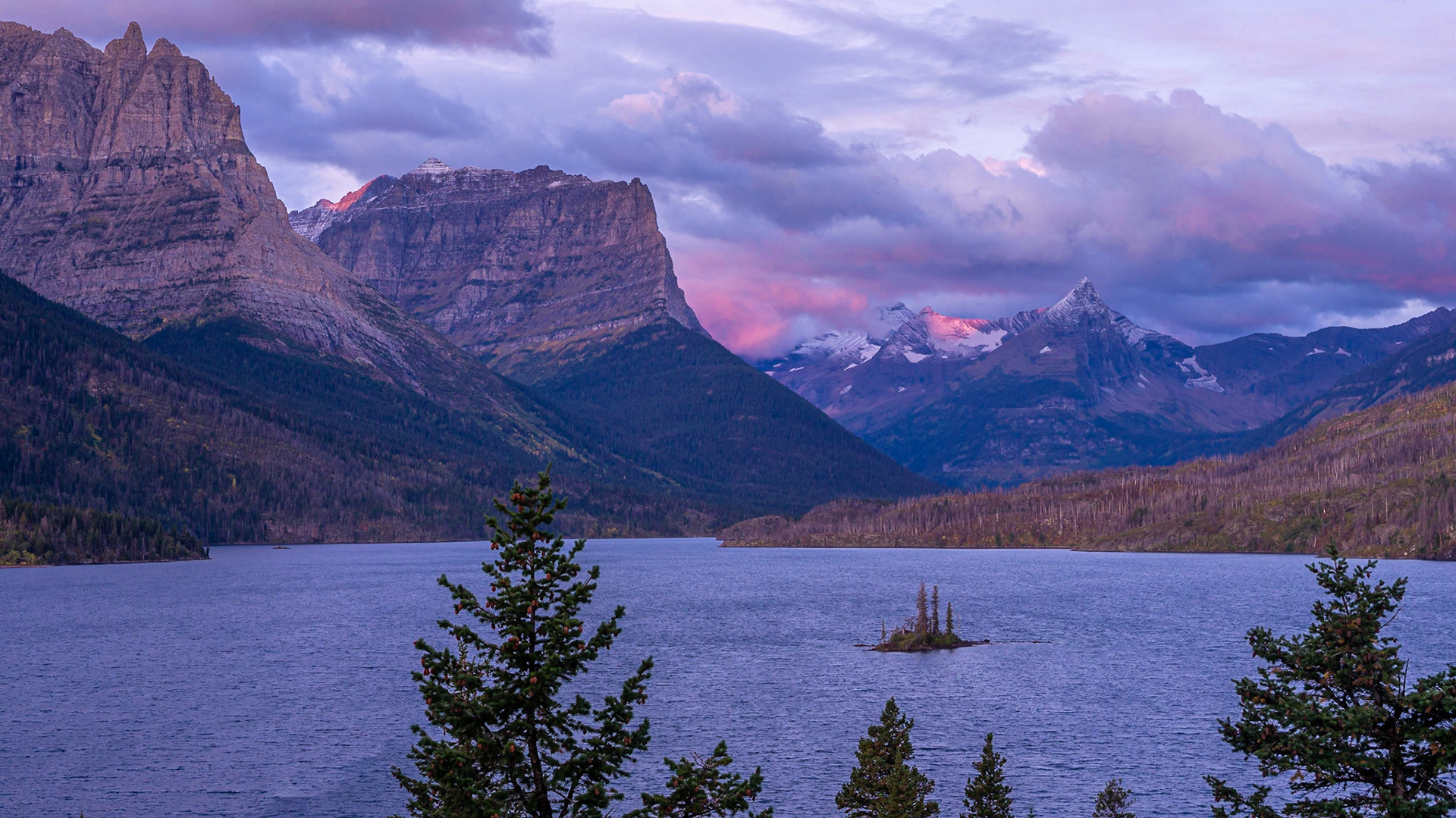
Sunrise from Wild Goose Island Overlook, looking west toward the peaks on the Continental Divide running through Glacier National Park
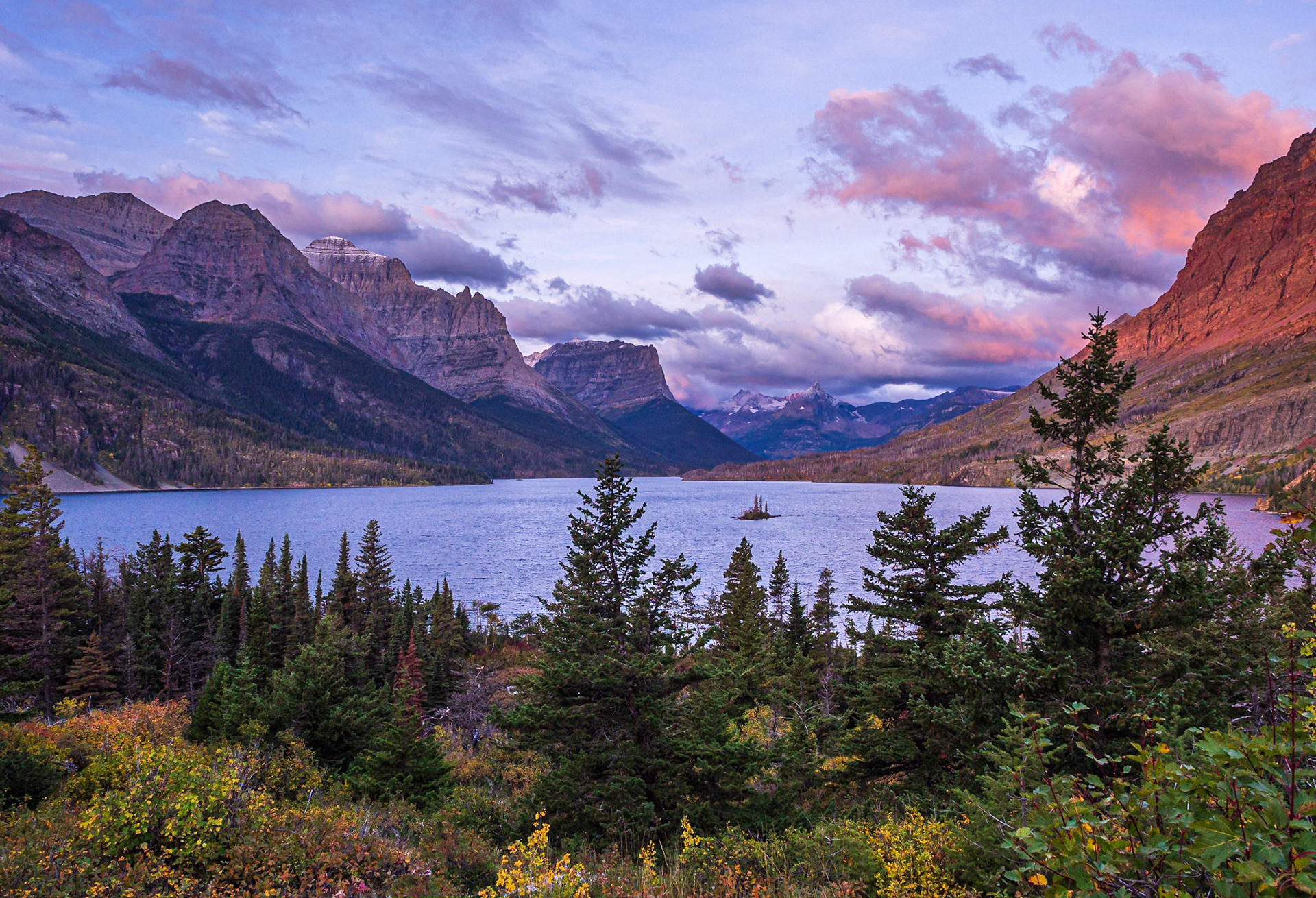
Wild Goose Island Overlook
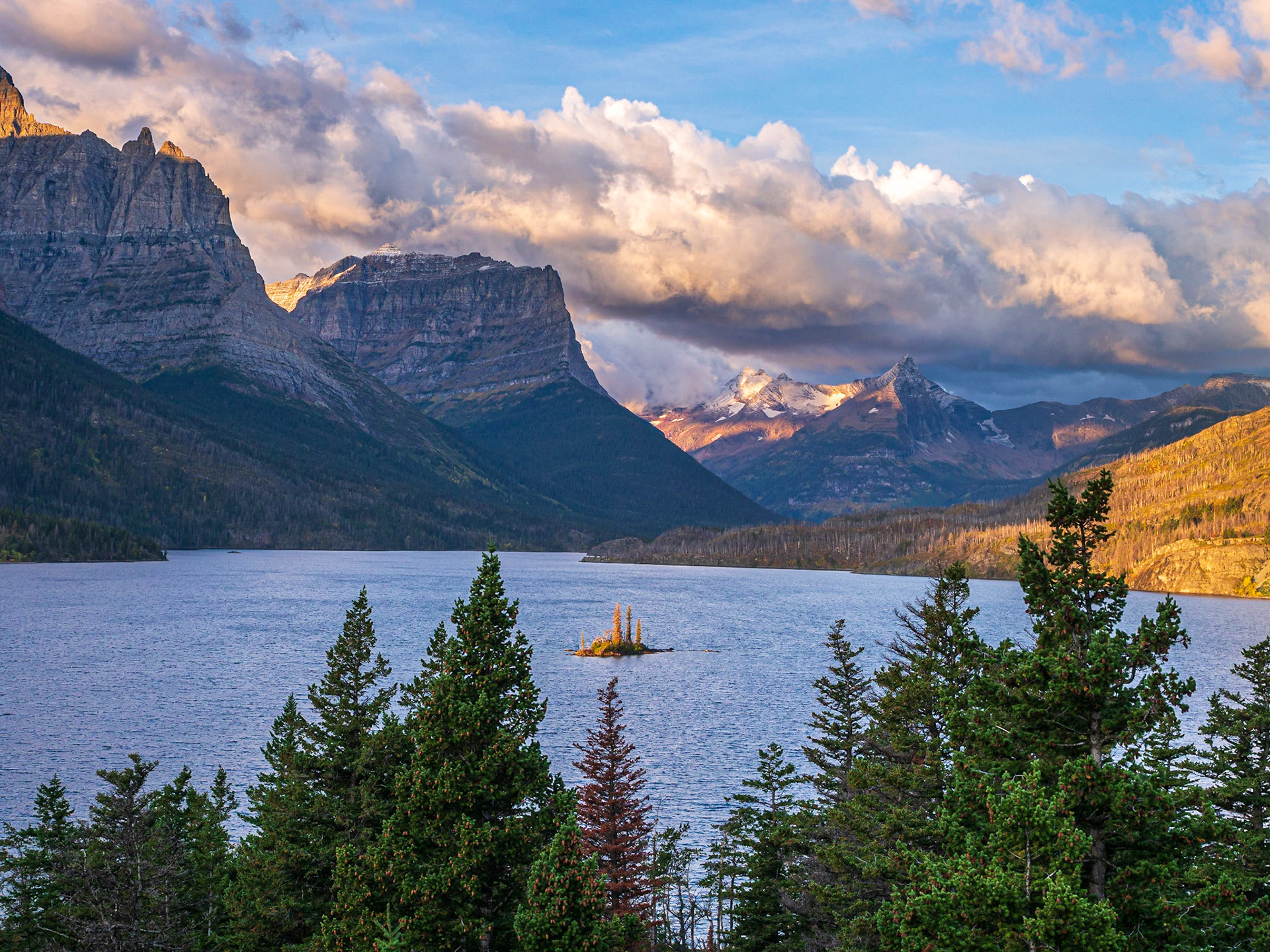
Wild Goose Island Overlook
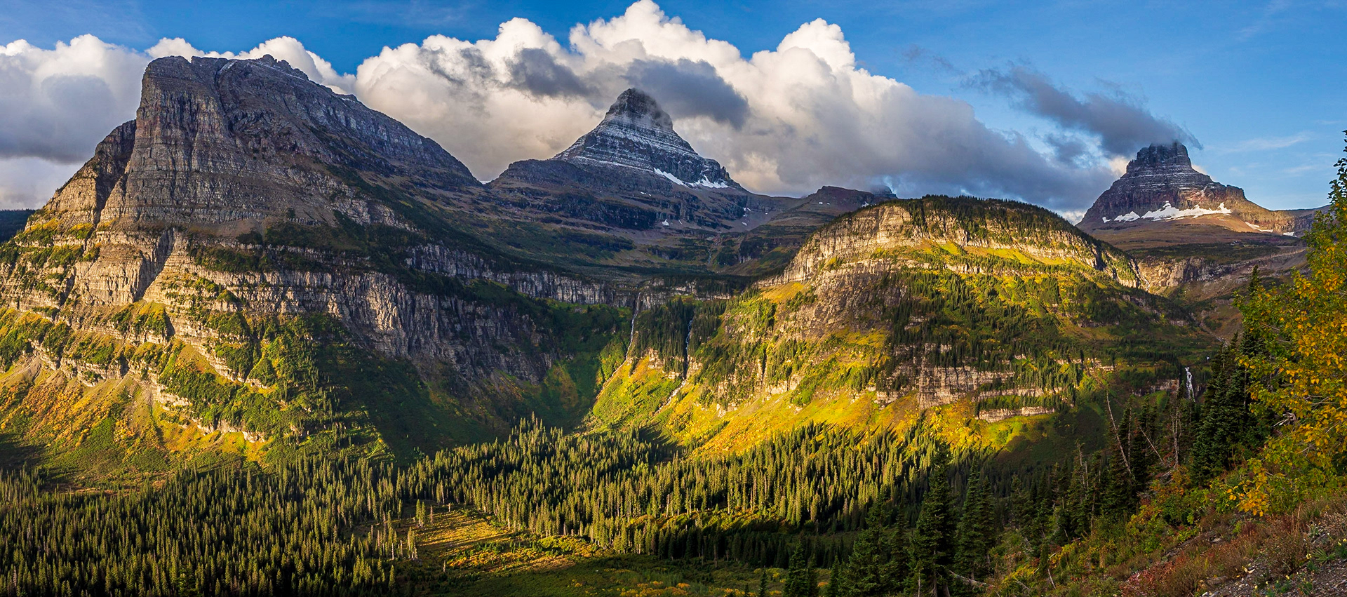
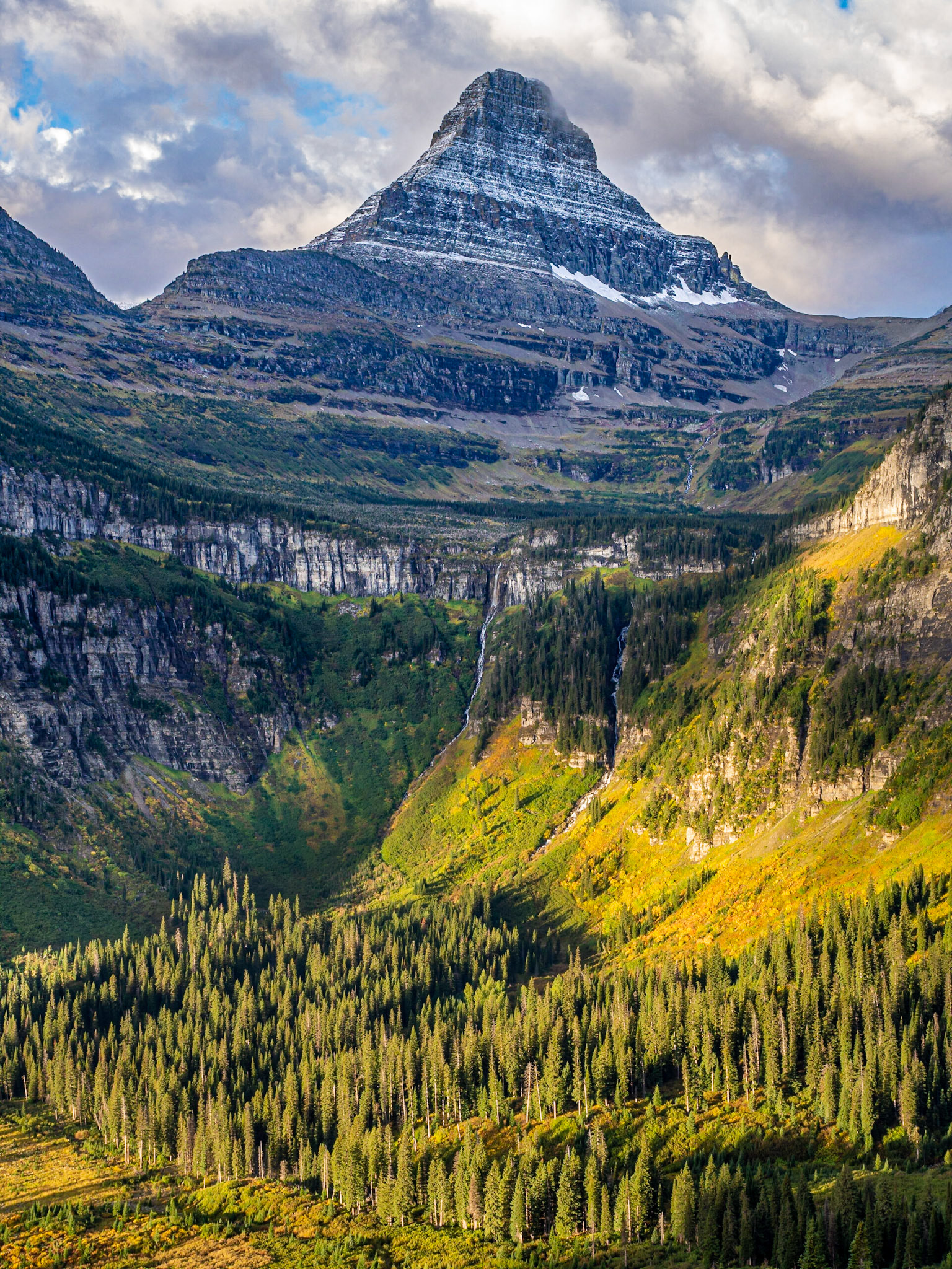
Heavy Runner Mountain (left), Reynolds Mountain (middle) and Clements Mountain (right)
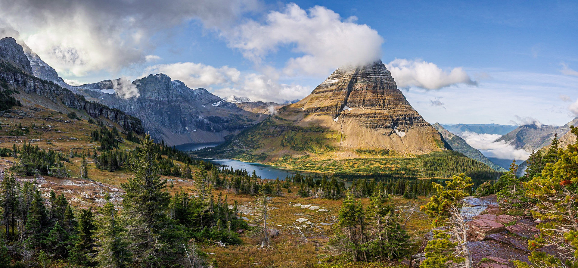
Hidden Lake
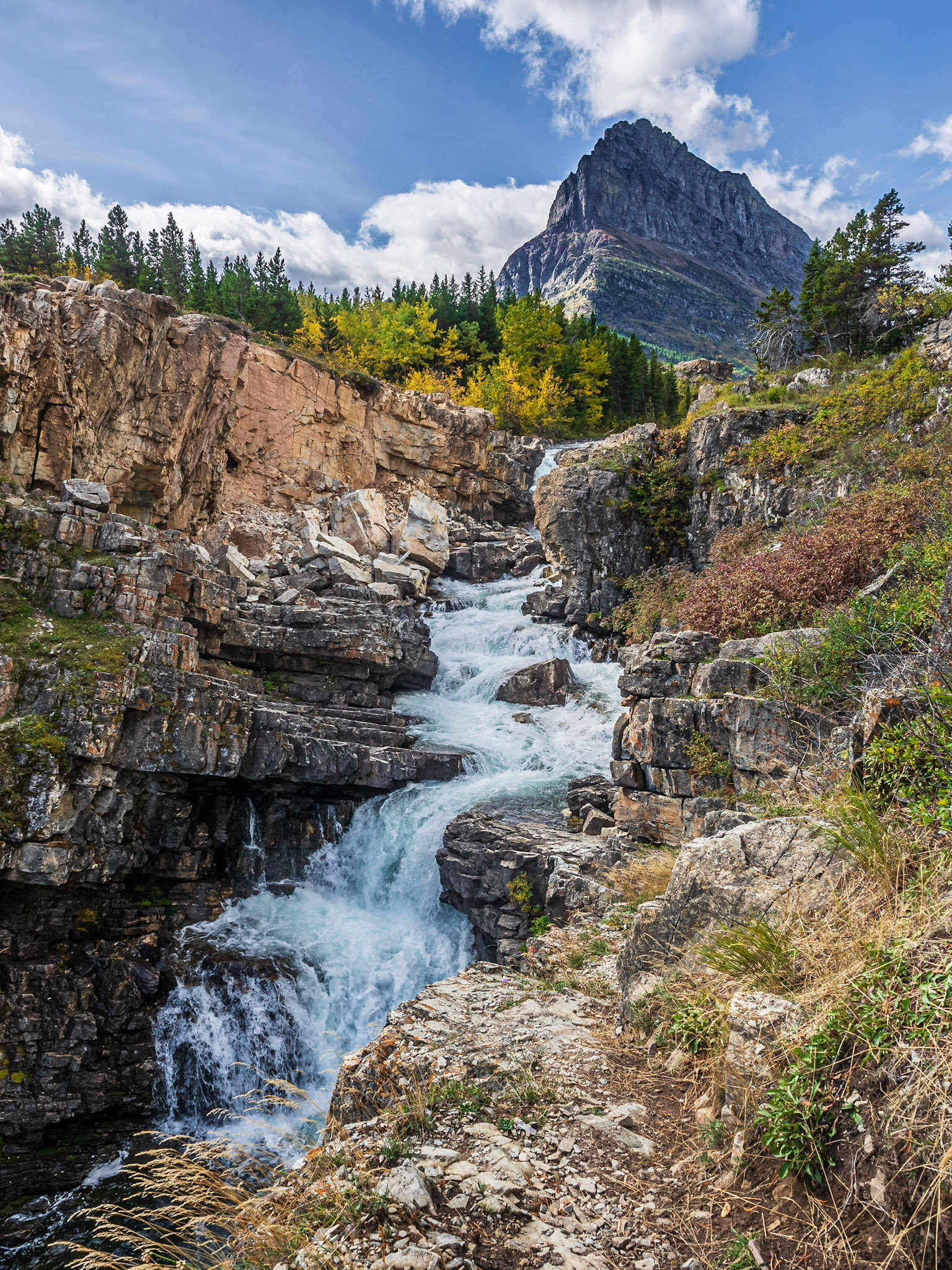
Swiftcurrent Falls
The upper part of Swiftcurrent Falls
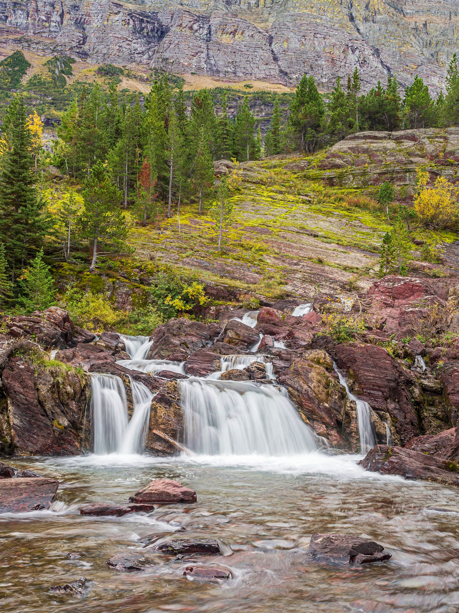
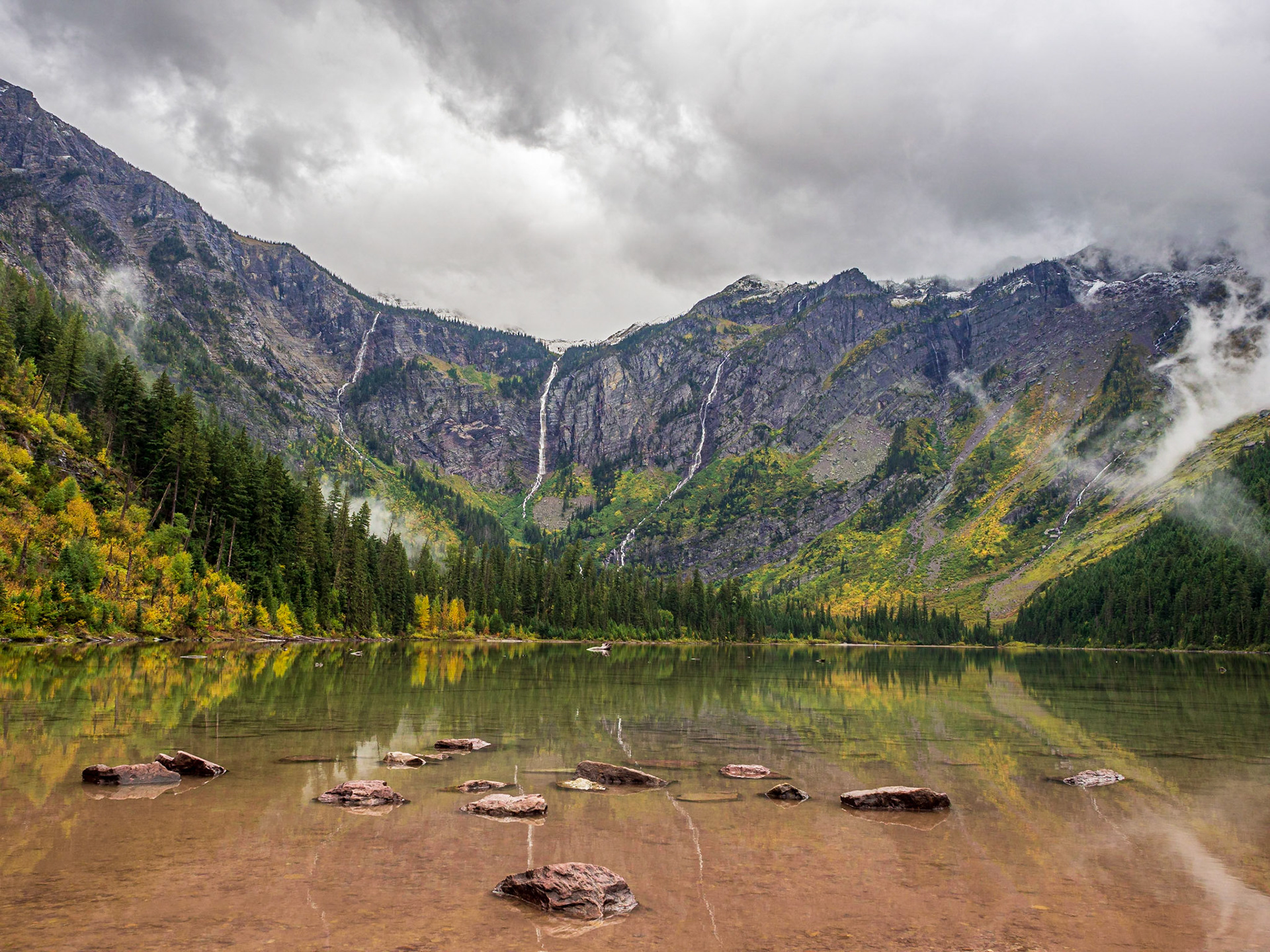
It's evident why the falls are named Redrock, but they probably should be called Redrock Cascades. Still, a nice peacful place. We were the only ones there.
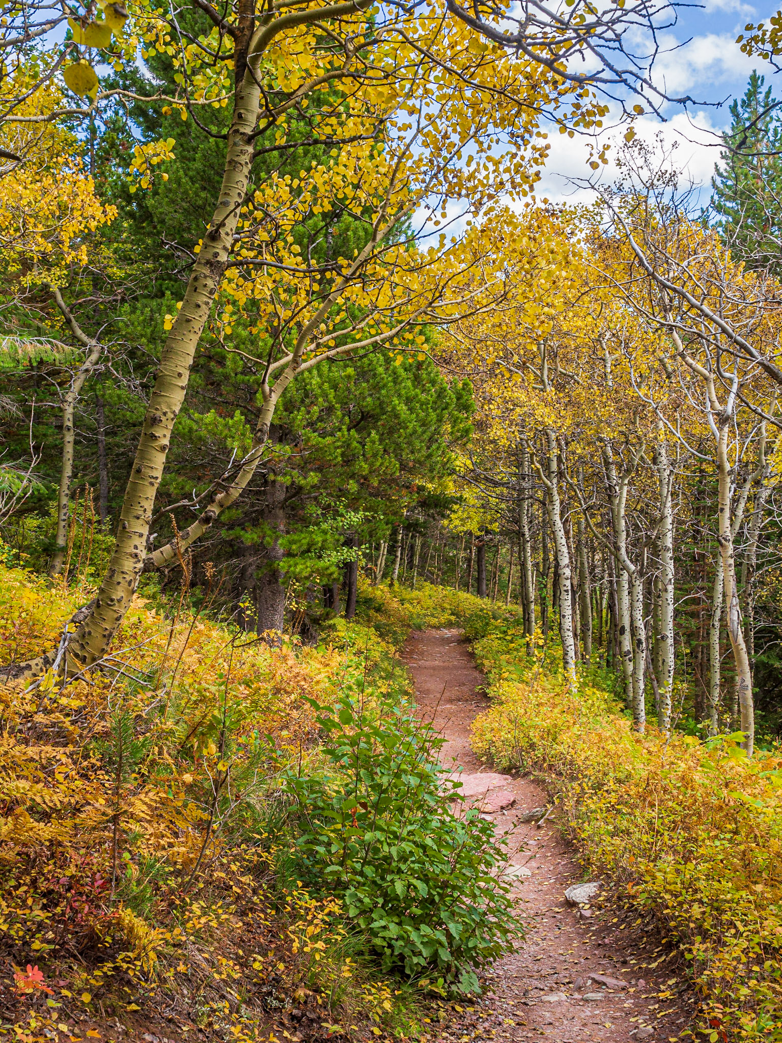
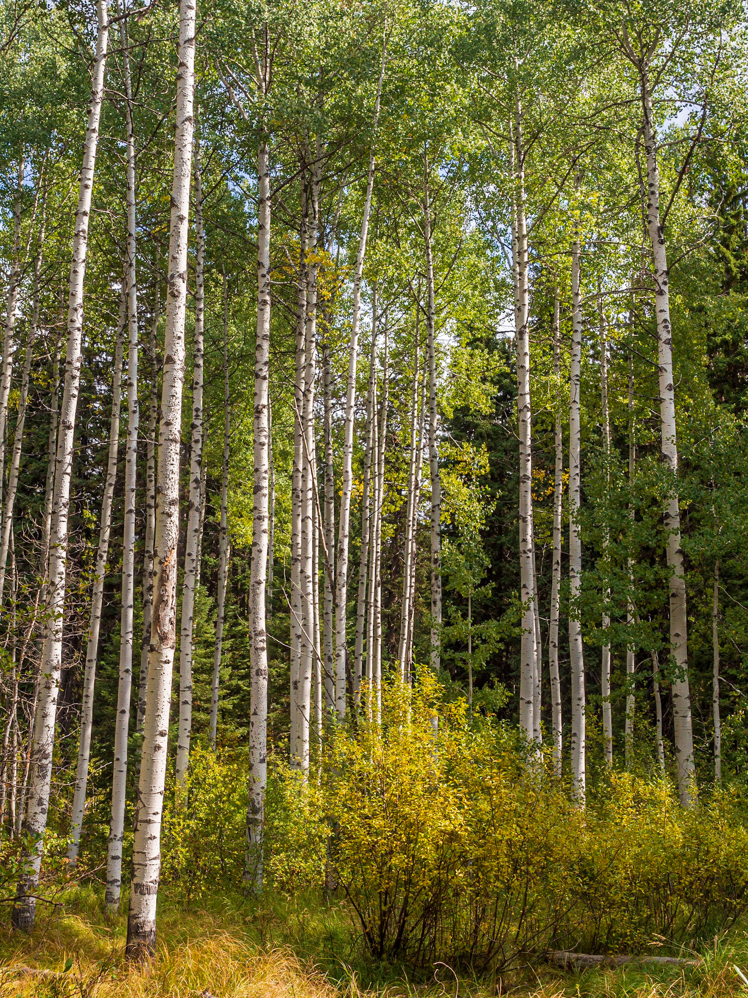
Aspens along the Swiftcurrent Pass Trail
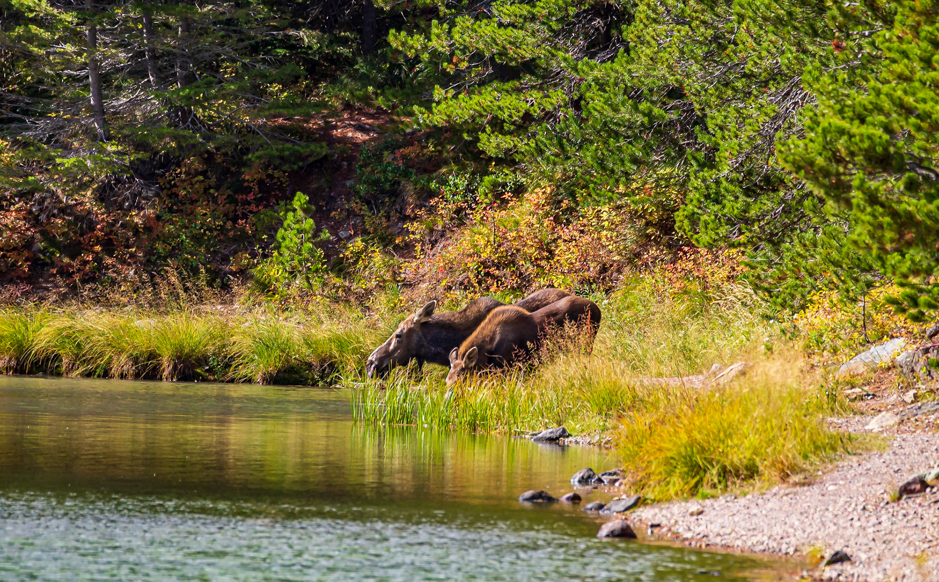
Momma and daughter moose at the end of Fishercap Lake

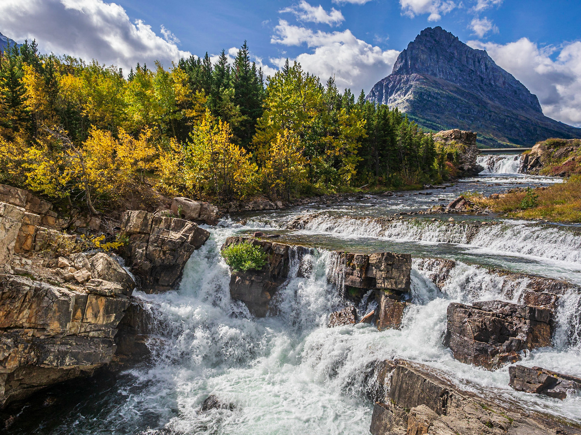
View over Swiftcurrent Falls
Looking back over Swiftcurrent Falls
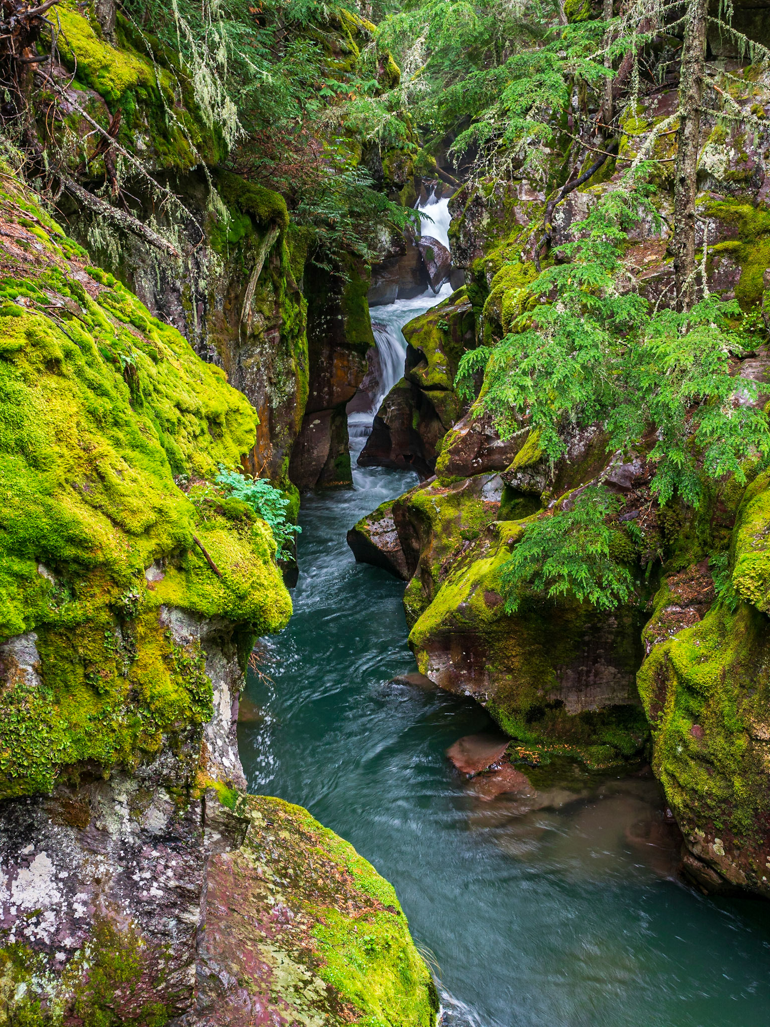
Avalanche Creek Gorge
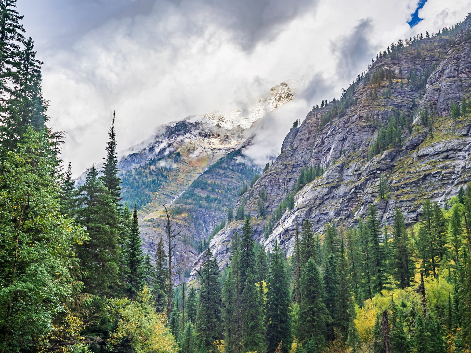
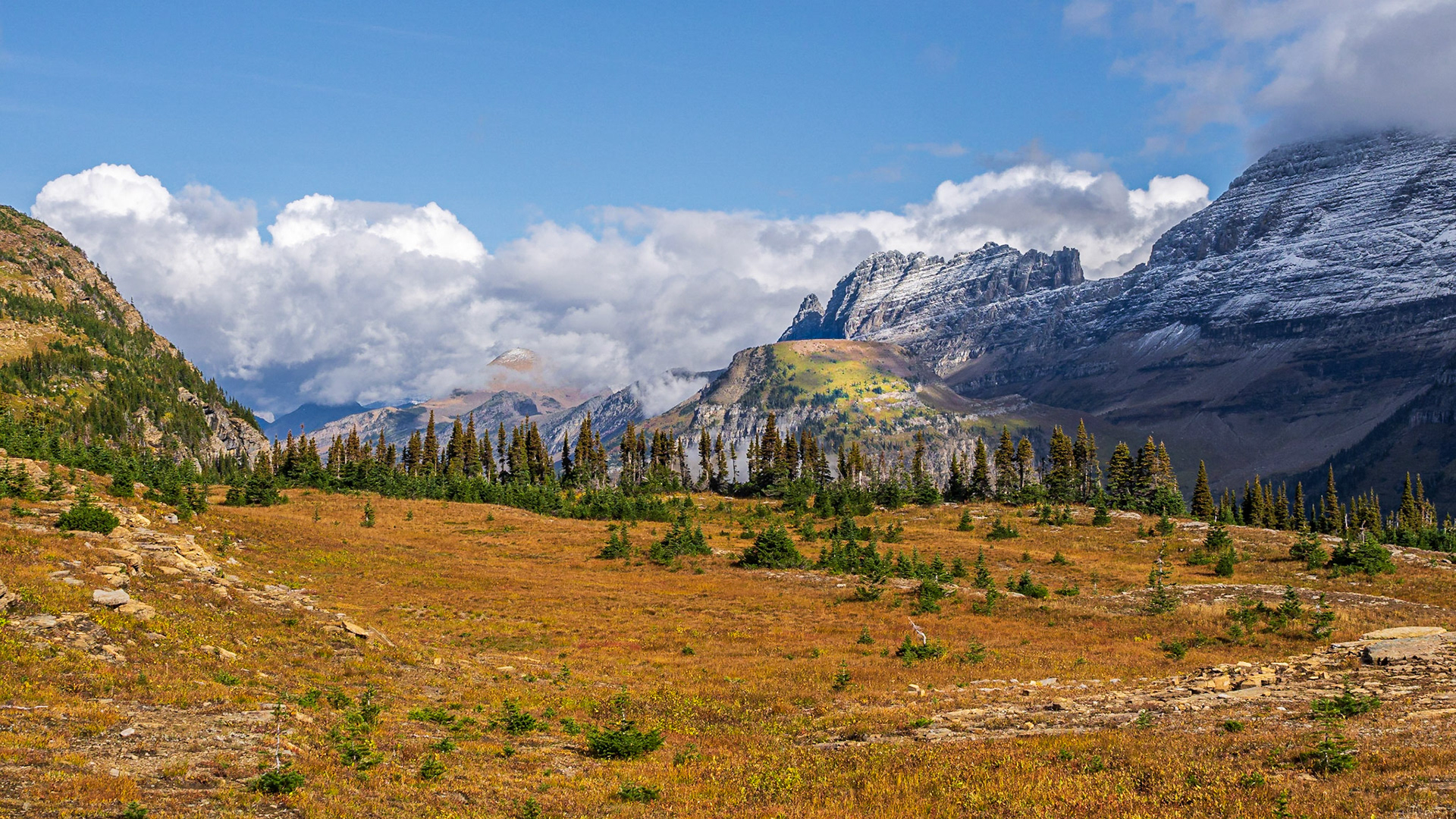
Looking back toward the trail, clouds were breaking up and patches of blue sky were making an appearance.
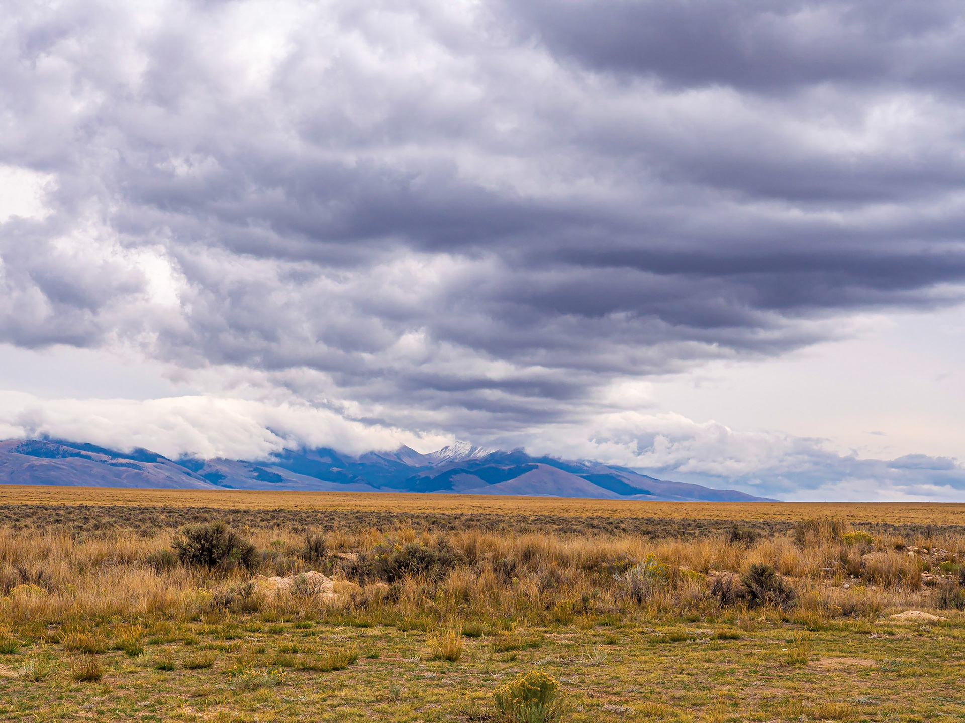
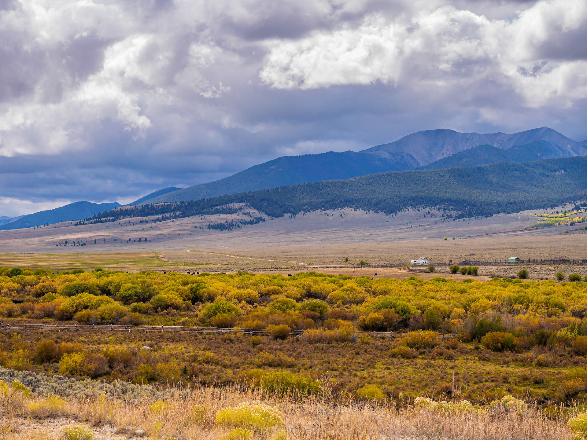
A spot of colorful trees under the cloudy skies, with cows grazing in the distance.
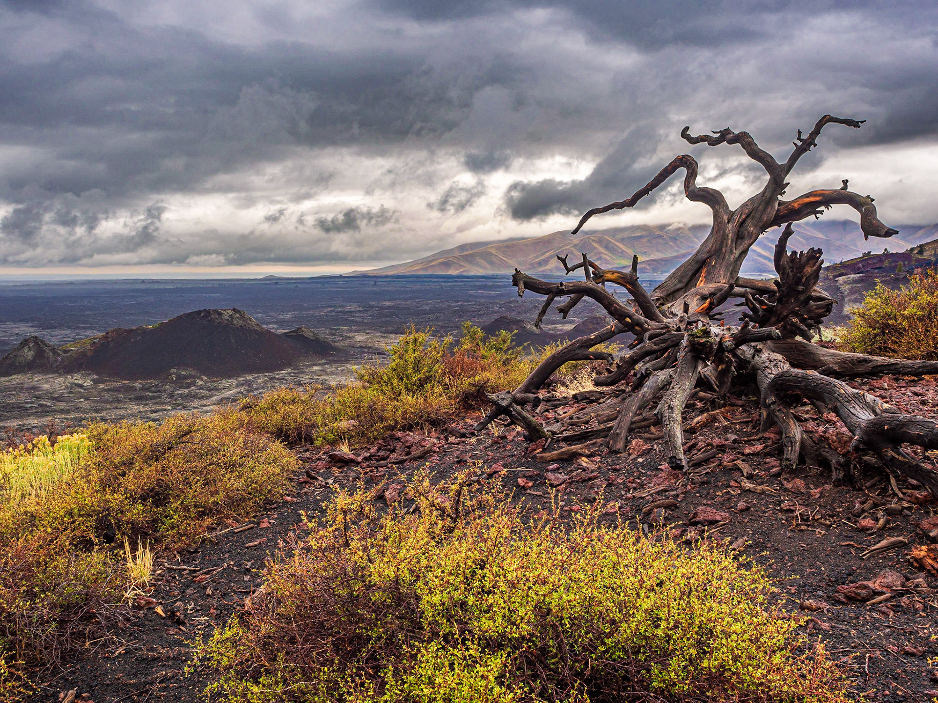
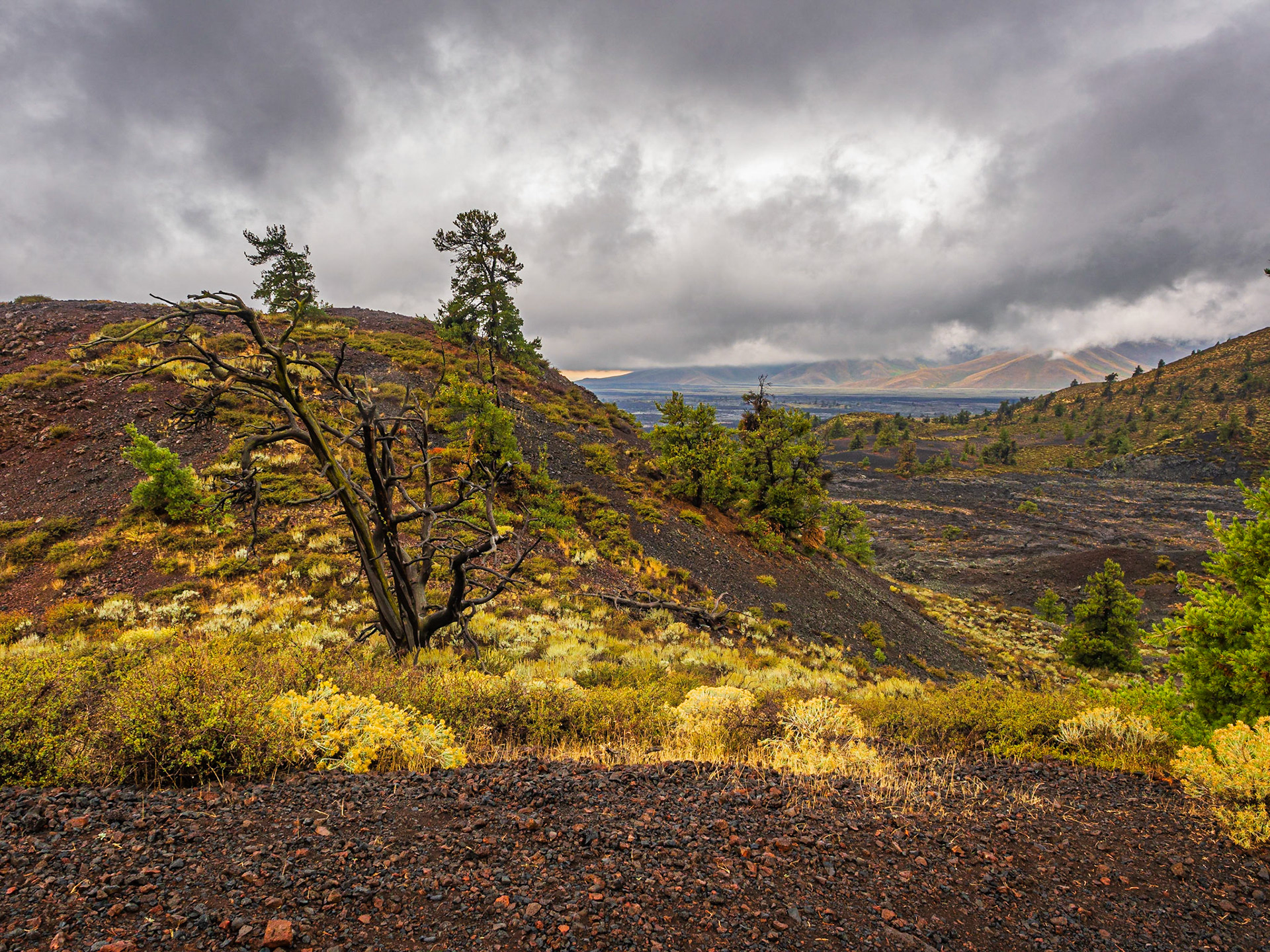
Views from the top
of the Inferno Cone
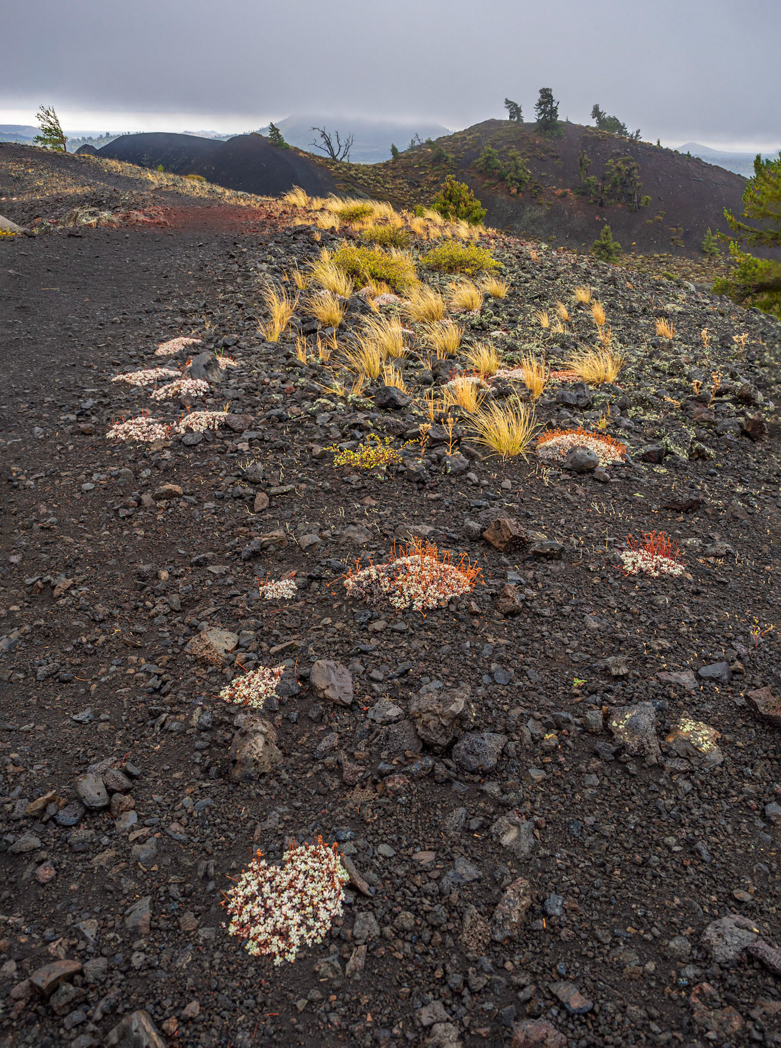
Plants that had gained a foothold in the lava next to the trail.
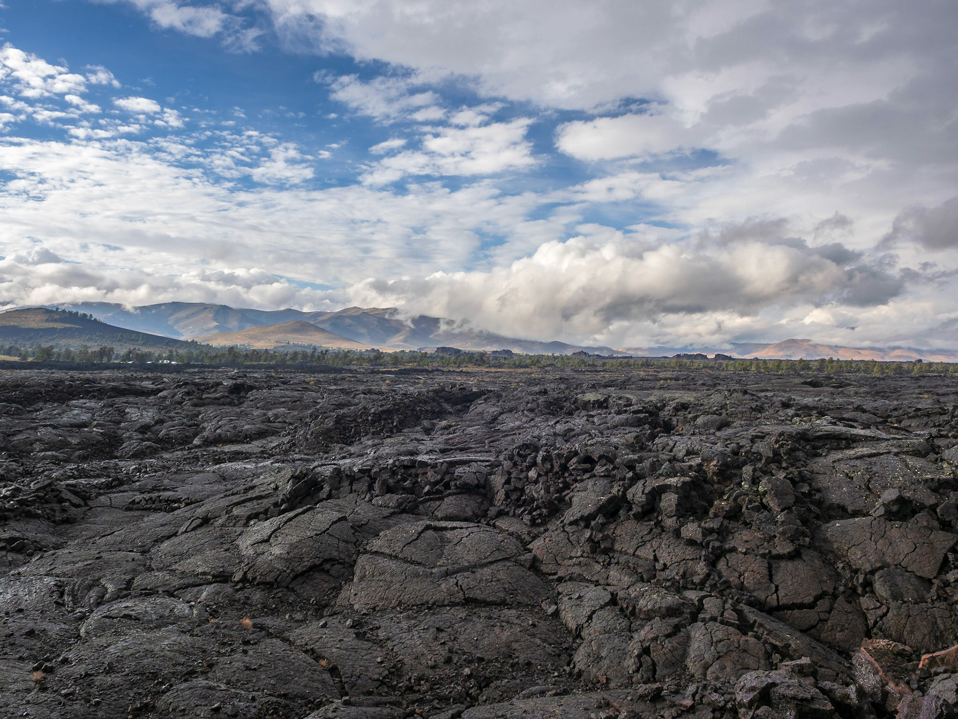
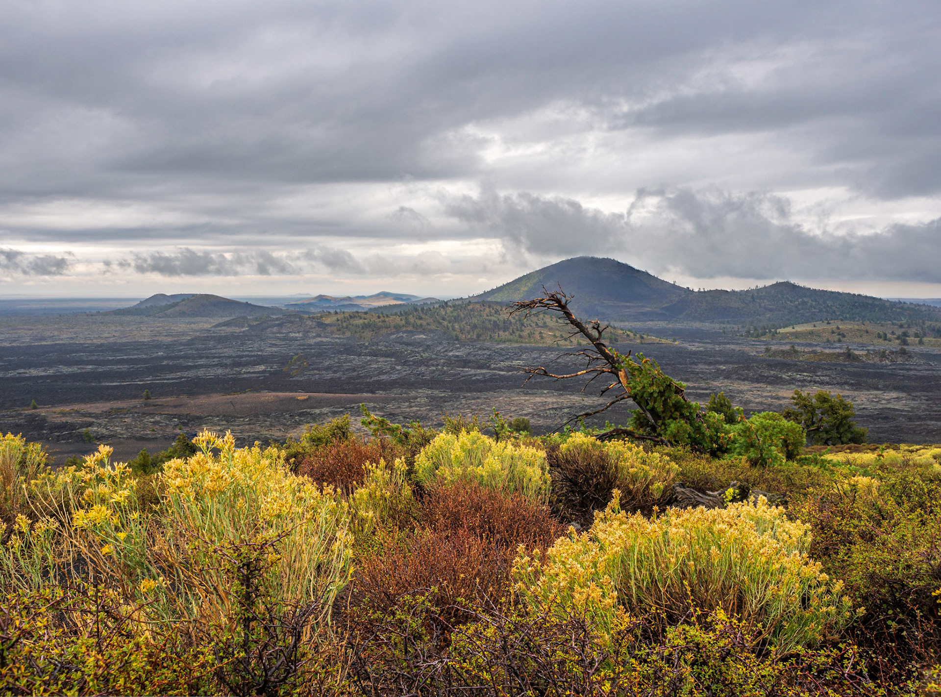
Vast lava-covered landscape
The auto tour went out of the park and another dirt road outside the park goes north to get back into the park.
As we turned back into the park, it was clear this part of the park got much more snow than the first part we were in.
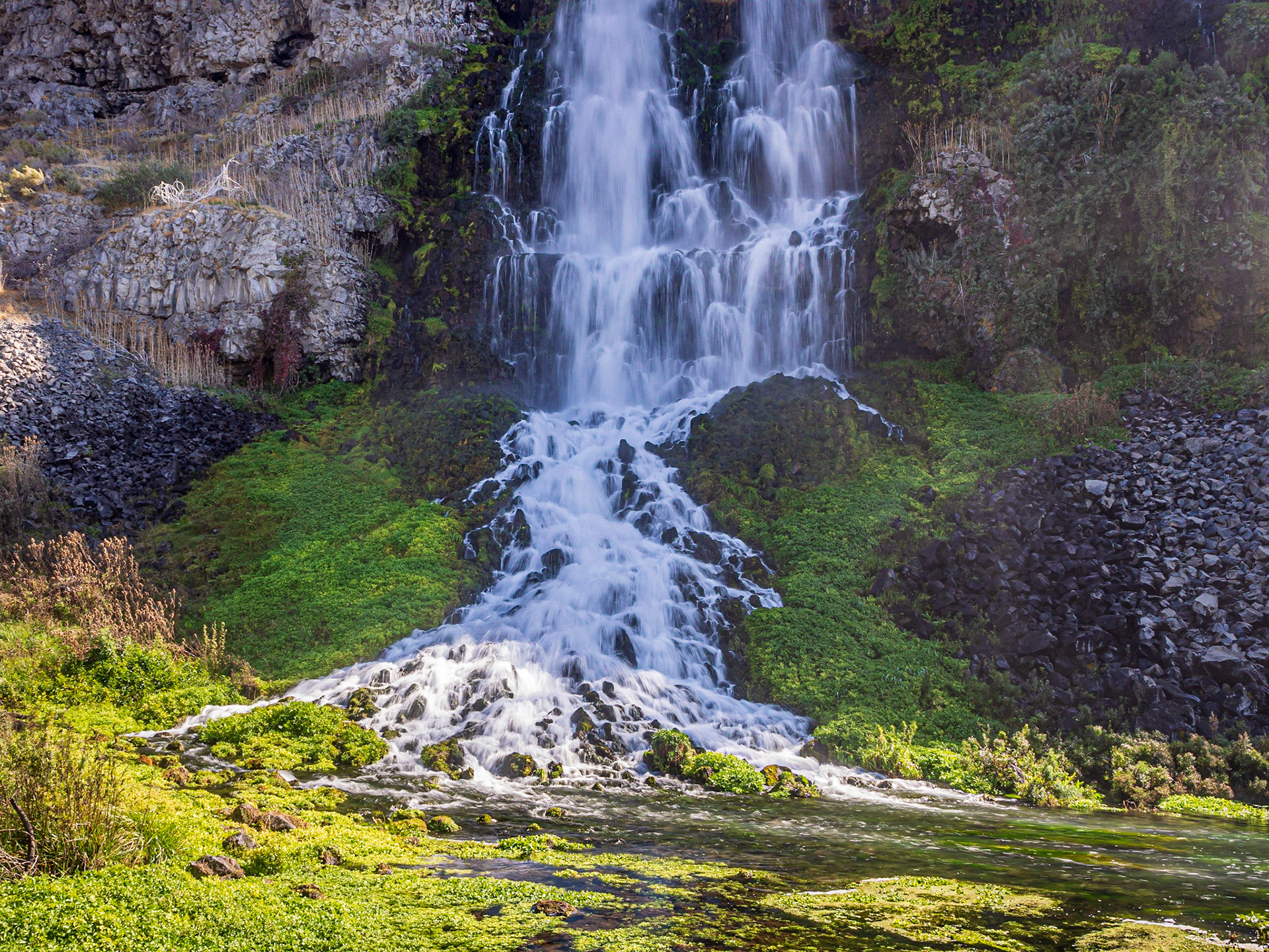
Unnamed waterfall in the Thousand Springs Preserve near the Ritter Island Unit
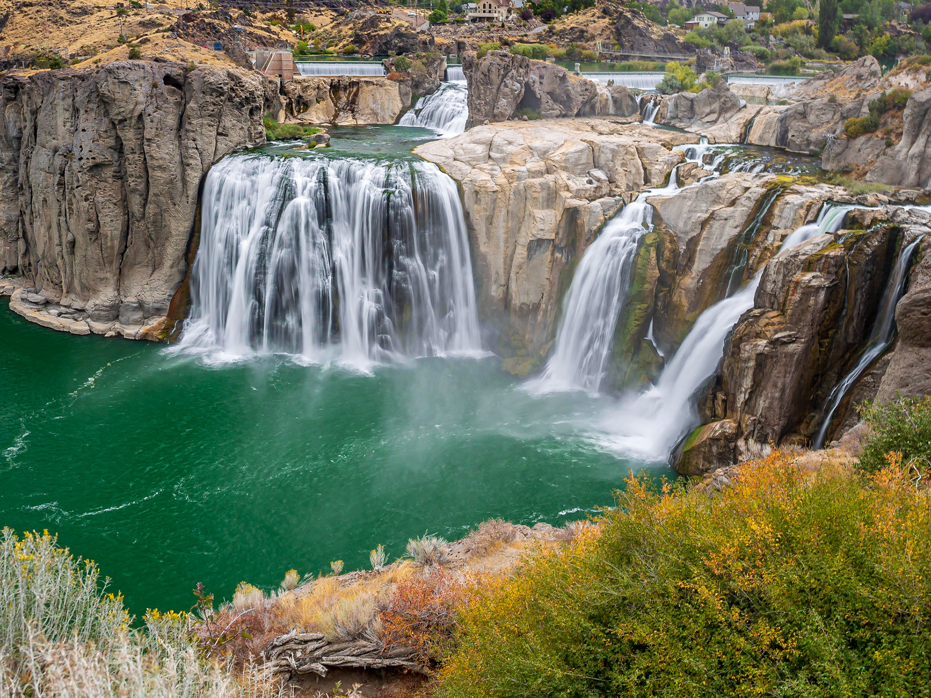
Niagara Springs
Horseshoe Bend in the distance

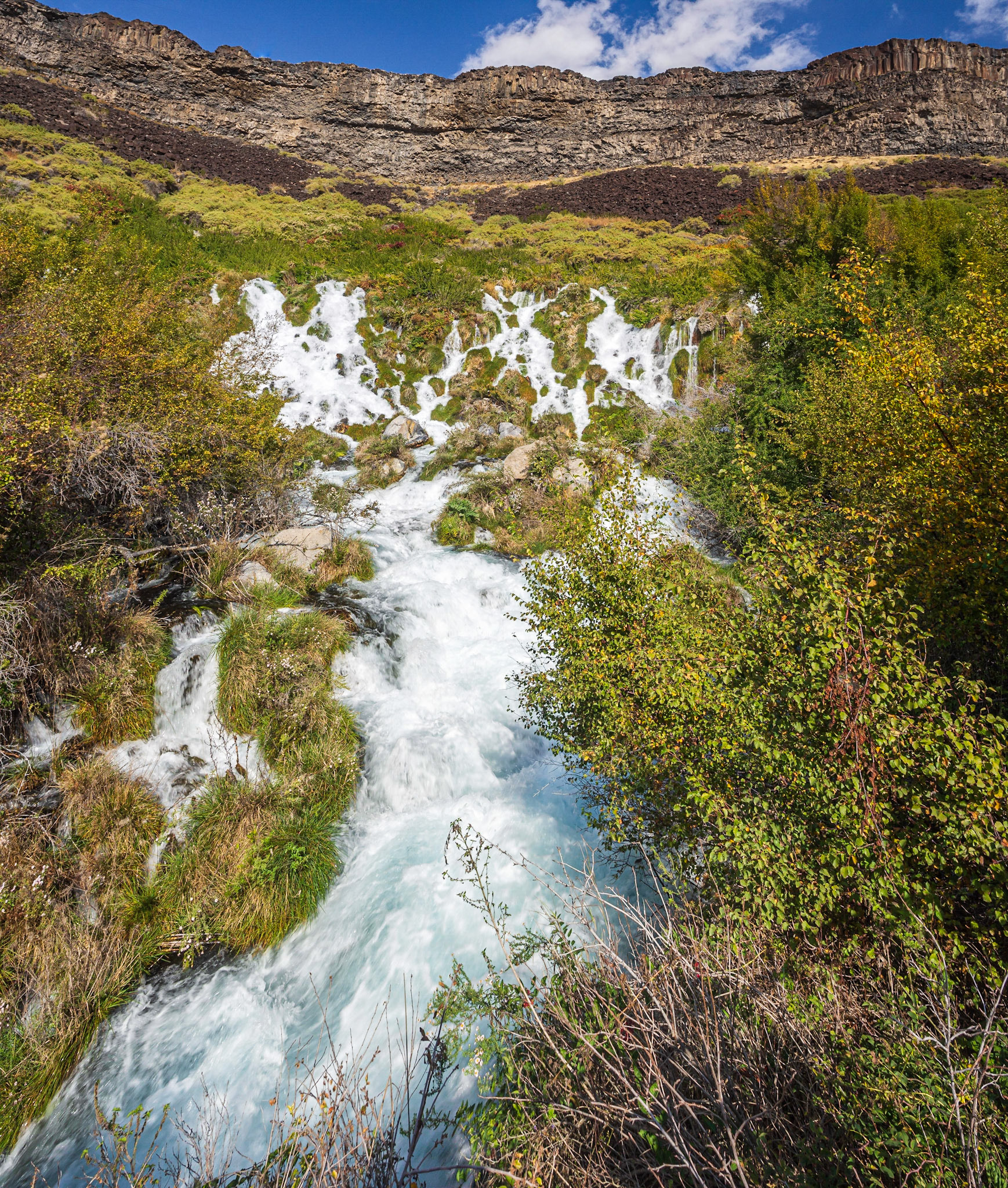
Looking southwest from the Promontory